
AlphaGeo Matrix Ultra DGPS/GNSS Receiver: Features, Specs & Uses
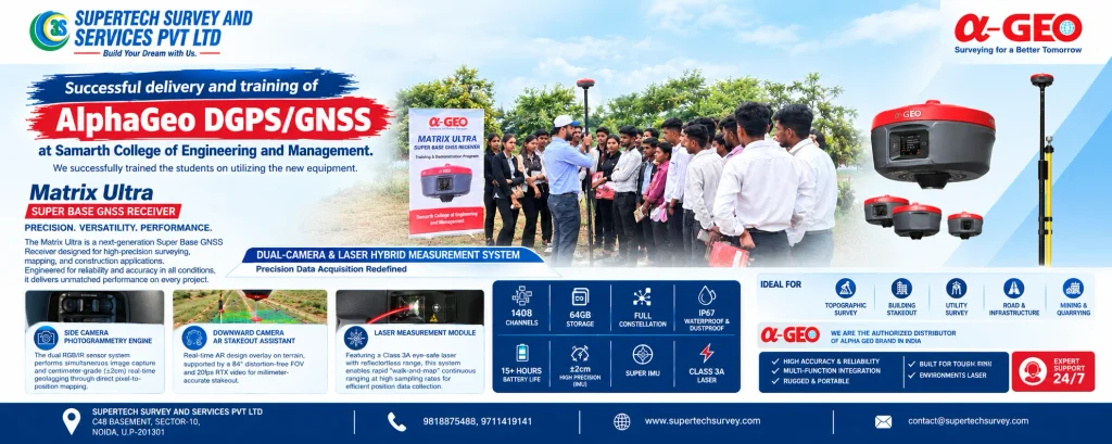
The AlphaGeo Matrix Ultra DGPS/GNSS Receiver is a professional surveying instrument designed for land surveying, construction stakeout, topographic mapping, and infrastructure projects. It combines GNSS positioning technology with dual-camera imaging, laser-assisted measurement, AR stakeout, and IMU tilt compensation to support modern surveying workflows. With 1408 GNSS channels, 64 GB internal storage, an IP67-rated enclosure, and […]
GNSS Supplier in India for Surveying Equipment
Choosing the right GNSS supplier in India for surveying equipment is essential for surveyors, construction companies, infrastructure developers, civil engineers, and mapping professionals. Accurate positioning data helps improve project efficiency, reduce measurement errors, and support reliable decision-making across different surveying applications. With the growing demand for precise geospatial data in India, GNSS technology has become […]
GNSS Survey Equipment: Types, Uses, Accuracy & Buying Guide
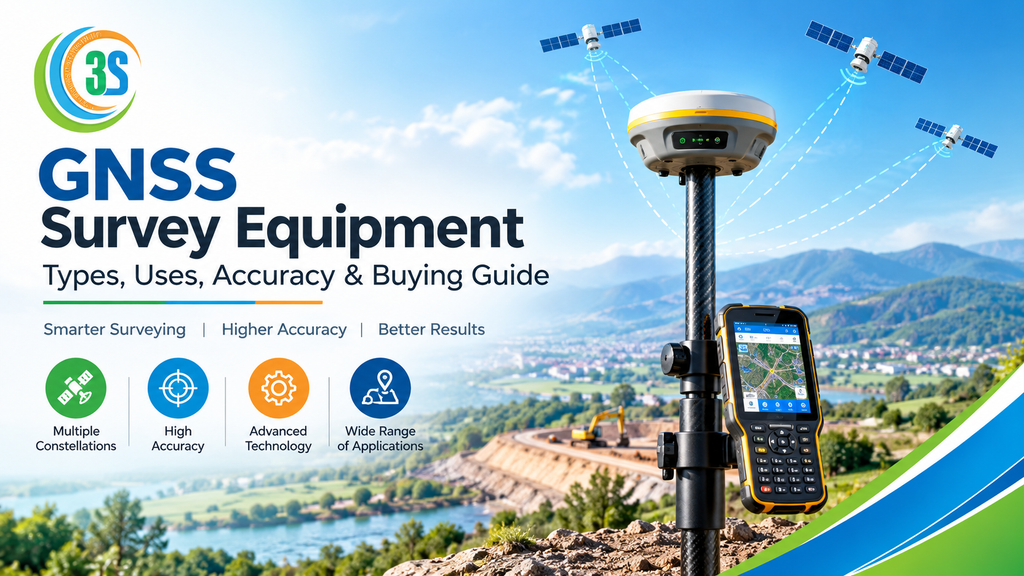
GNSS survey equipment has become an essential part of modern land surveying, construction, mapping, and infrastructure projects. Unlike basic GPS devices designed for navigation, professional GNSS surveying equipment can use multiple satellite constellations and advanced correction technologies to provide highly precise positioning. Whether you are a land surveyor, civil engineer, construction professional, GIS specialist, or […]
GNSS vs DGPS: Which Surveying Technology Is Better?
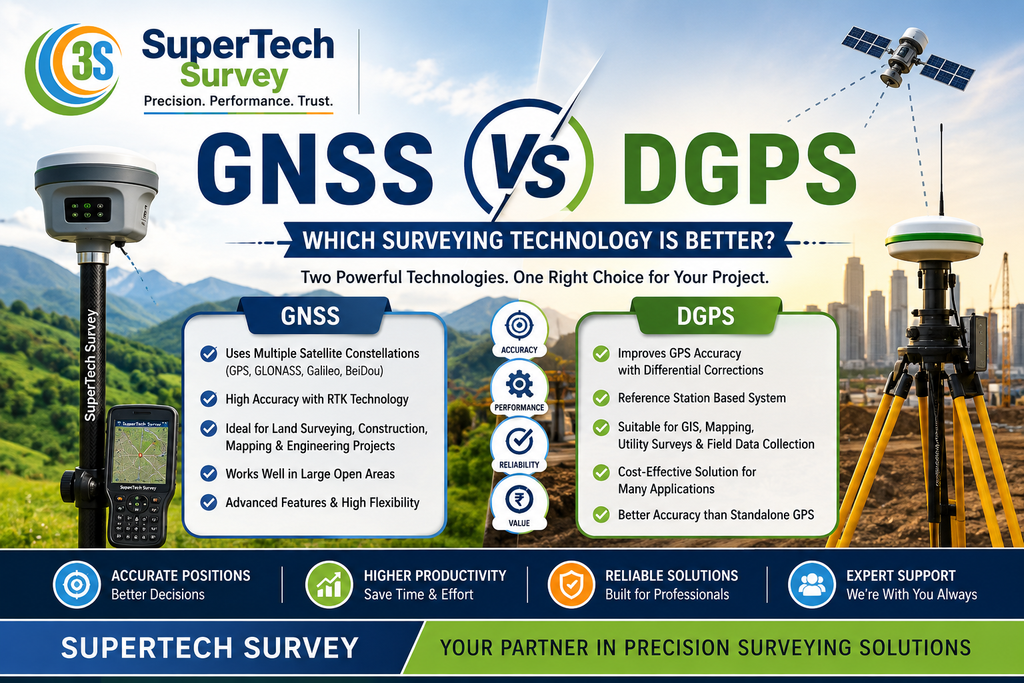
Modern surveying relies heavily on precise positioning. If it’s a building project, land survey, mining operation, highway development, GIS mapping, or infrastructure project, accurate information about location is crucial for making informed decisions. Satellite-based technologies like GNSS and DGPS have made surveying more efficient and more accurate than many conventional methods. Yet, GNSS and DGPS […]