
Choosing the right GNSS supplier in India for surveying equipment is essential for surveyors, construction companies, infrastructure developers, civil engineers, and mapping professionals. Accurate positioning data helps improve project efficiency, reduce measurement errors, and support reliable decision-making across different surveying applications.
With the growing demand for precise geospatial data in India, GNSS technology has become an important part of land surveying, road construction, topographic mapping, and infrastructure development. However, selecting suitable equipment requires more than comparing prices. When choosing surveying equipment, buyers should consider its level of accuracy, available features, technical support, and the quality of after-sales service.
In this guide, we explain what GNSS surveying equipment is, how it works, which factors to consider when choosing a supplier, and how to select the right GNSS receiver for your project.
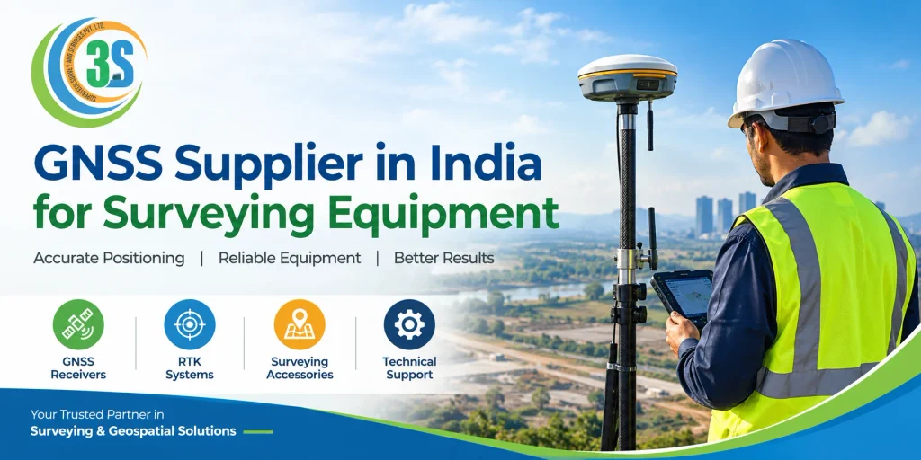
What Is GNSS Surveying Equipment?
GNSS stands for Global Navigation Satellite System. It refers to satellite-based positioning systems that help determine the location of a receiver on or near the Earth’s surface.
GNSS includes several satellite constellations, such as GPS (United States), GLONASS (Russia), Galileo (European Union), and BeiDou (China).
GNSS surveying equipment uses signals from these satellite systems to determine coordinates and collect positioning data. Depending on the receiver, correction method, satellite visibility, and operating conditions, GNSS equipment can support positioning ranging from meter-level accuracy to centimeter-level results.
Common GNSS surveying equipment includes:
- GNSS RTK receivers: Used for real-time, high-precision positioning.
- Base and rover systems: Used together to provide positioning corrections for surveying work.
- Network RTK receivers: Use correction data delivered through a suitable internet or mobile network connection.
- GNSS controllers: Help surveyors configure equipment, collect field data, and manage survey points.
- GNSS accessories: Include poles, batteries, tribrachs, antennas, cables, and other compatible components.
Selecting the right equipment depends on your project requirements, site conditions, accuracy expectations, and budget.
Why Choose a Reliable GNSS Supplier in India?
A reliable GNSS supplier does more than sell surveying instruments. The supplier helps buyers identify suitable equipment for their applications and understand the features needed to complete fieldwork efficiently.
Below are some key advantages of working with a reliable and experienced supplier.
1. Suitable Equipment Selection
Different surveying projects require different levels of accuracy and functionality. A supplier can help you compare GNSS receivers based on their satellite tracking capabilities, RTK performance, connectivity, software compatibility, and intended applications.
For example, a land surveyor working on boundary surveys may have different requirements from a construction engineer performing road alignment and setting-out tasks.
2. Technical Guidance
GNSS receivers may offer features such as IMU tilt compensation, multi-constellation tracking, Bluetooth connectivity, internal storage, and field data collection software.
Knowing these features before making a purchase helps you select equipment that fits your work requirements without spending extra on functions you don’t need.
3. After-Sales Support
Technical assistance is important when equipment needs configuration, troubleshooting, firmware updates, or operational guidance. Before purchasing, confirm what support the supplier provides and whether training or repair services are available.
4. Product and Accessory Compatibility
A GNSS receiver must work with the appropriate controller, field software, correction service, and accessories. Confirm compatibility before ordering to avoid unexpected additional costs.
Applications of GNSS Surveying Equipment
GNSS technology supports a wide range of surveying and positioning applications across India.
Land and boundary surveying: GNSS receivers help collect coordinates for land measurement, property surveys, and cadastral mapping where the applicable survey methods and regulations permit.
Road and highway construction: Surveyors use GNSS RTK equipment for alignment checks, control point establishment, site measurements, and construction setting-out.
Topographic surveying: GNSS equipment supports the collection of location data for terrain mapping, contour generation, and digital site planning.
Infrastructure development: Building projects, industrial sites, and infrastructure corridors use GNSS positioning for control surveys and construction layout.
GIS mapping: GNSS receivers help collect georeferenced field data for geographic information systems, asset mapping, and utility surveys.
Agriculture and machine guidance: Compatible GNSS systems can support precision agriculture, vehicle guidance, and certain machine-control applications.
The appropriate equipment depends on the accuracy required, site environment, available correction services, and project specifications.
How to Choose the Best GNSS Supplier in India
Before purchasing GNSS survey equipment, evaluate the supplier and the product carefully.
1. Check GNSS Receiver Specifications
Review the receiver’s supported satellite constellations, signal tracking capabilities, RTK specifications, update rate, communication options, and environmental protection rating.
Do not rely only on the number of channels or advertised accuracy. Real-world performance also depends on satellite geometry, correction quality, multipath, obstructions, and other site conditions.
2. Compare GNSS RTK Receiver Features
If your project requires centimeter-level positioning, compare suitable RTK receivers. Check whether they support base-rover operation, network RTK, relevant correction formats, and the communication methods required at your worksite.
Tilt compensation and IMU functionality may also be useful for measuring points in locations where keeping the survey pole perfectly vertical is difficult.
3. Understand the GNSS Receiver Price in India
The price of a GNSS receiver in India depends on the model, supplied accessories, software, technical support, and the features it offers.
Entry-level systems and advanced surveying receivers can have substantially different prices. Request a detailed quotation that specifies the receiver, controller, software, accessories, warranty, taxes, and training or support charges where applicable.
Comparing complete packages gives you a more accurate understanding of the total investment.
4. Verify Warranty and Service Support
Ask about warranty coverage, service procedures, repair availability, replacement policies, and software support. If daily field operations are essential to your surveying work, dependable technical support can reduce downtime.
5. Ask for a Product Demonstration
Whenever possible, request a demonstration or practical explanation of the receiver’s operation. Confirm that the equipment can meet your project’s accuracy and workflow requirements under realistic working conditions.
Why Consider SuperTech Survey for GNSS Equipment?
SuperTech Survey & Services Pvt. Ltd. is a surveying equipment and services company established in 2014 in Noida, India. The company serves customers across India with surveying instruments, geospatial equipment, technical assistance, and related services.
Customers exploring GNSS surveying solutions can enquire about suitable GNSS receivers, RTK equipment, DGPS instruments, and compatible surveying accessories according to their project requirements.
Before finalizing a purchase, discuss the intended application, required accuracy, site conditions, software preferences, and available technical support with the supplier.
To explore related solutions, visit the GNSS Receiver page and the DGPS Surveyors page on the SuperTech Survey website.
GNSS vs DGPS: Which Equipment Should You Choose?
GNSS is the broader satellite positioning technology, while DGPS refers to differential GPS positioning techniques that use reference-based corrections to improve positioning accuracy.
Modern GNSS receivers can track multiple satellite constellations and use different correction methods, including RTK, depending on their specifications.
Choose a GNSS RTK receiver when your work requires suitable real-time, high-precision positioning and the necessary correction service is available. Evaluate DGPS solutions according to their capabilities and your project’s required accuracy rather than assuming every DGPS or GNSS product offers the same performance.
The best choice depends on your surveying application, required precision, operating environment, and budget.
Frequently Asked Questions About GNSS Suppliers in India
What does a GNSS supplier provide?
A GNSS supplier may provide GNSS receivers, RTK systems, controllers, accessories, software, product guidance, and technical support. The exact offering depends on the supplier.
Which GNSS receiver is best for land surveying?
The best receiver depends on the required accuracy, project size, site conditions, correction service availability, and budget. For centimeter-level real-time positioning, consider an RTK-compatible receiver with suitable correction support.
What affects GNSS receiver prices in India?
Prices depend on receiver capabilities, supported constellations, RTK functionality, tilt compensation, controller and software packages, accessories, warranty, and support services.
Is GNSS RTK suitable for construction projects?
Yes. Suitable GNSS RTK systems are commonly used for construction surveying, control point establishment, road alignment, and setting-out when site conditions and correction availability support the required accuracy.
How can I choose a trustworthy GNSS supplier?
Compare product specifications, warranty terms, technical support, accessory compatibility, quotations, and demonstration options. Confirm that the equipment meets your project’s technical requirements before purchasing.
Conclusion
Finding the right GNSS supplier in India for surveying equipment can help surveyors and construction professionals select suitable technology for accurate and efficient fieldwork. Compare receiver specifications, correction options, total cost, compatibility, warranty, and after-sales support before making a decision.
SuperTech Survey provides surveying and geospatial equipment solutions for customers across India. Contact the company to discuss your project requirements and identify a suitable GNSS receiver or RTK surveying solution for your application.