
GNSS survey equipment has become an essential part of modern land surveying, construction, mapping, and infrastructure projects. Unlike basic GPS devices designed for navigation, professional GNSS surveying equipment can use multiple satellite constellations and advanced correction technologies to provide highly precise positioning.
Whether you are a land surveyor, civil engineer, construction professional, GIS specialist, or infrastructure contractor, choosing the right GNSS survey equipment can improve field productivity, accuracy, and project efficiency.
This guide explains the different types of GNSS survey equipment, their uses, accuracy, and the key factors to consider before buying a GNSS receiver in India.
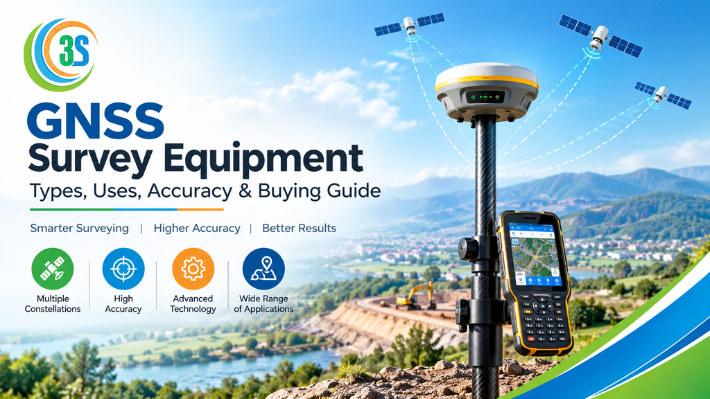
What Is GNSS Survey Equipment?
GNSS survey equipment refers to professional positioning instruments that receive signals from Global Navigation Satellite System (GNSS) constellations to determine accurate geographic positions.
Modern GNSS receivers can work with satellite systems such as GPS, GLONASS, Galileo, BeiDou, QZSS, and, depending on the receiver, NavIC. Multi-constellation and multi-frequency technology can improve positioning reliability in challenging field conditions.
For professional surveying, GNSS equipment can be used with methods such as static surveying, PPK, RTK, and network RTK. RTK systems can provide centimetre-level positioning when suitable correction data, satellite visibility, equipment setup, and field conditions are available.
What Are the Main Types of GNSS Survey Equipment?
There are several types of GNSS survey equipment available, depending on the project’s accuracy and workflow requirements.
1. GNSS Survey Receiver
A GNSS survey receiver is the primary instrument used to collect precise positioning data from satellites. It is commonly mounted on a survey pole and connected to a field controller.
Survey receivers are used for topographic surveys, boundary surveys, mapping, control surveys, and construction applications.
2. GNSS RTK Receiver
A GNSS RTK receiver uses Real-Time Kinematic correction technology to achieve high-precision positioning in real time.
An RTK setup may consist of a base receiver and rover, or a rover connected to a network correction service. The correction data helps reduce positioning errors and enables centimetre-level results under suitable conditions.
3. Base and Rover GNSS System
In a traditional RTK workflow, one receiver works as the base station while another works as the rover. The base provides correction information to the rover through an appropriate communication link.
This configuration is useful for construction sites, road projects, land development, and areas where a local correction source is preferred.
4. Network RTK GNSS Equipment
Network RTK allows a rover to receive correction information from a network of reference stations. This can reduce the need to establish a local base station for every project.
However, network availability, communication connectivity, reference-system compatibility, and field validation should be considered when using this approach.
Where Is GNSS Survey Equipment Used?
GNSS surveying equipment is suitable for a wide range of professional applications, including:
- Land and boundary surveying
- Topographic surveys
- Construction layout and staking
- Road and highway surveys
- Railway and infrastructure projects
- Mining and quarry surveys
- GIS data collection
- Utility mapping
- Cadastral surveying
- Agricultural and land development projects
- Control point establishment
- Volume and site measurements
A GNSS receiver can significantly reduce the time required to collect large numbers of field points, particularly when RTK or network RTK correction is available.
How Accurate Is GNSS Survey Equipment?
The accuracy of GNSS equipment depends on the receiver, antenna, correction method, satellite geometry, atmospheric conditions, multipath, field procedures, and the quality of the reference data.
For example, specifications published for geodetic-grade GNSS equipment by the Survey of India include RTK performance figures such as approximately 8 mm + 1 ppm horizontal and 15 mm + 1 ppm vertical for single-base RTK under specified conditions. These figures should be treated as equipment specifications rather than a guarantee for every field environment.
Height measurements can also be more challenging than horizontal positioning. GNSS survey guidelines highlight atmospheric effects, multipath, receiver errors, coordinate transformations, and field procedures as important sources of positioning error.
Therefore, surveyors should always verify critical measurements using appropriate control points and independent checks.
What Factors Affect GNSS Accuracy?
Several factors can influence the final accuracy of a GNSS survey:
Satellite visibility: Open-sky conditions generally provide better satellite tracking than heavily obstructed areas.
Multipath: Signals reflected by buildings, walls, vehicles, and other surfaces can affect positioning.
Atmospheric conditions: Ionospheric and tropospheric effects can introduce positioning errors.
Correction quality: RTK and network RTK accuracy depends on the quality and availability of correction information.
Antenna setup: Incorrect antenna height or poor setup can introduce significant measurement errors.
Field procedures: Proper initialization, occupation time, control checks, and survey methodology are important for reliable results.
How to Choose the Best GNSS Survey Equipment?
Before purchasing a GNSS receiver, don’t select a model only because it has a high channel count or an attractive price. Consider the complete surveying workflow.
1. Check Required Accuracy
First determine whether your project requires metre-level, sub-metre, or centimetre-level positioning. For high-precision surveying and construction layout, an RTK-capable GNSS receiver is generally more appropriate.
2. Look for Multi-Constellation Support
A modern receiver should ideally support multiple satellite constellations. This can provide access to more signals and improve positioning availability in suitable conditions.
3. Consider Multi-Frequency Technology
Multi-frequency receivers can help with high-precision positioning and ambiguity resolution. This is particularly important for professional RTK surveying.
4. Check RTK and Correction Options
Find out whether the receiver supports local base-rover RTK, network RTK, NTRIP, UHF radio, or other correction methods required for your projects.
5. Consider IMU Tilt Compensation
Some modern GNSS receivers include IMU-based tilt compensation, allowing surveyors to measure points without keeping the pole perfectly vertical. This can improve productivity where point access is difficult.
6. Check Controller and Software Compatibility
The receiver is only one part of the system. Field software should support the workflows you actually perform, such as point collection, stakeout, COGO, coding, road surveying, and data export.
7. Consider Durability and Battery Life
Survey equipment is frequently used outdoors, so check ingress protection, operating temperature, battery capacity, communication options, and overall ruggedness.
8. Compare GNSS Receiver Price and Total Cost
When comparing GNSS receiver price in India, don’t look only at the initial equipment cost. Consider the controller, survey pole, batteries, radio, software, correction subscriptions, training, calibration, warranty, and after-sales support.
A lower-priced receiver may not necessarily be the most economical choice if it lacks the features or support required for your projects.
Why Buy GNSS Survey Equipment From a Reliable Supplier?
Choosing the right GNSS supplier is almost as important as choosing the receiver itself. A reliable supplier should provide genuine equipment, technical guidance, installation support, training, warranty assistance, accessories, and after-sales service.
For professional surveying companies, proper support can reduce equipment downtime and help survey teams use the receiver correctly.
Frequently Asked Questions About GNSS Survey Equipment
What is GNSS survey equipment used for?
GNSS survey equipment is used for accurate positioning, mapping, land surveying, construction layout, topographic surveys, GIS data collection, road projects, and infrastructure surveying.
How accurate is a GNSS RTK receiver?
A survey-grade GNSS RTK receiver can achieve centimetre-level positioning under suitable conditions with appropriate correction data. Actual field accuracy depends on equipment specifications, satellite visibility, correction quality, atmospheric conditions, multipath, and survey procedures.
What is the difference between a GNSS receiver and an RTK GNSS receiver?
A GNSS receiver calculates position from satellite signals, while an RTK GNSS receiver uses real-time correction information to achieve much higher positioning precision. RTK is therefore commonly used for professional high-precision surveying.
How do I choose GNSS survey equipment?
Choose equipment based on required accuracy, satellite support, RTK correction options, field software, battery life, durability, connectivity, accessories, price, warranty, and supplier support.
Is GNSS better than a traditional surveying instrument?
GNSS and instruments such as total stations serve different purposes. GNSS is highly useful for positioning and large-area surveying, while total stations can be advantageous where satellite visibility is poor or precise relative measurements are required. In many professional projects, both technologies complement each other.
Conclusion
The right GNSS survey equipment can make surveying faster, more accurate, and more efficient. A professional GNSS survey receiver or GNSS RTK receiver is particularly valuable for land surveying, construction, mapping, infrastructure, and other applications requiring precise positioning.
Before buying, compare accuracy, satellite support, correction technology, software, durability, accessories, GNSS receiver price, and after-sales support rather than choosing equipment based on price alone.