
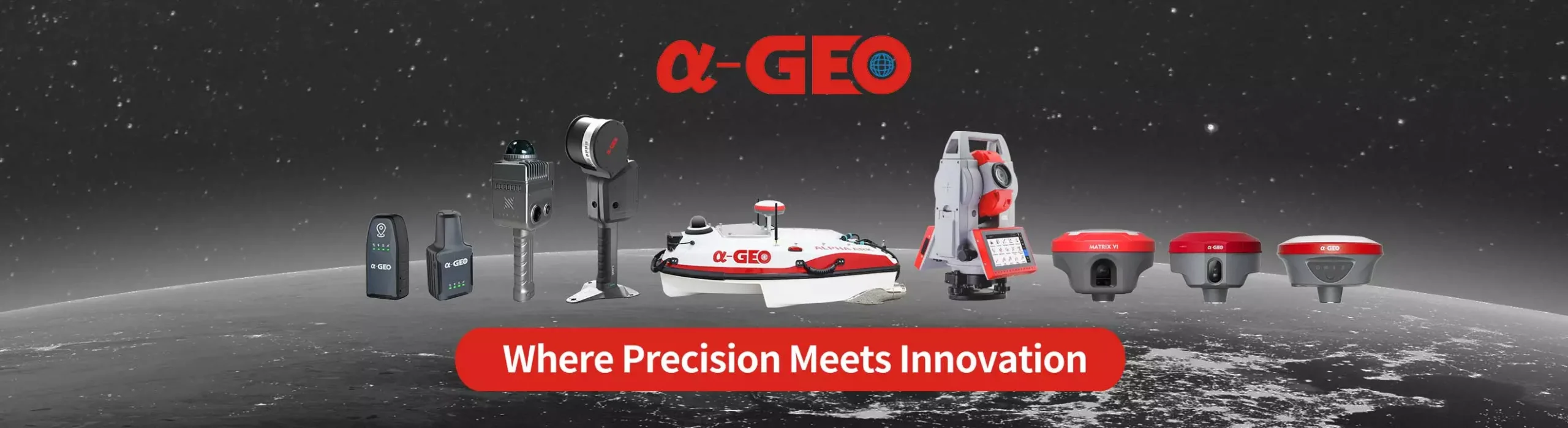
1408 channels GNSS receiver NetBOX2 for any surveying project
NetBOX2 is a brand new GNSS device with 1408 channels. It is small, but it is equipped with all required connectivity modules.
Features

IMU Tilt Sensor
L100 PRO is equipped with a fast initialization, calibration free & immune to magnetic interference Inertial Measurement Unit (IMU). All users can use this technology to collect or stakeout topo points up to 120°.

WiFi and WebUI
L100 PRO serves as a WIFI hotspot, so users can easily access,manage the status, set the configuration or download static and PPK raw data through advanced WebUI using computer, smartphone or other electronic devices with WIFI support without any need to third party software or cable.

Multi constellation
L100 PRO with its 1408 channels new generation full GNSS chipset & ability to support multiple satellite constellation including GPS, GLONASS, BEIDOU, GALILEO, QZSS, SBAS and IRNSS provides precise and accurate spatial data for all users around the world.

Working mode
Every surveyor needs to operate and choose suitable working method based on project requirements and required accuracy. In order to work in such condition users will need a device to be able to work in different modes such as Static, Network RTK, UHF RTK, PPK & etc. L100 PRO is offering all you need in a package!

Battery & Power
L100 PRO is delivered with an internal large capacity 7000mAh lithium-ion internal battery supporting USB type-C fast charging which allows users to work for more than 12 hours in daily field work.

GSM & UHF radio
A fast internet connection is guaranteed with a built-in 4G module that accelerate receiving correction data using all telecommunication signals and bands. L100 PRO comes with an integrated 15 km-range Tx/Rx internal UHF radio that ranges from 410 MHz to 470 MHz with selectable frequency providing ability to connect and collect accurate real time data in Base/Rover mode.
Specifications
| Performance specification | Satellite signals tracked simultaneously | GPS: L1C/A, L1C, L2P(Y), L2C, L5 |
| GLONASS: L1, L2, L3 | ||
| BEIDOU: B1l, B2l, B3l, B1C, B2a, B2b | ||
| GALILEO: E1, E5a,E5b, E6 | ||
| QZSS: L1, L2, L5, L6 | ||
| SBAS: L1, L5 | ||
| IRNSS: L5 | ||
| Channels | 1408 | |
| Cold start | <60 s | |
| Hot start | <15 s | |
| Positioning output rate | 1Hz–50Hz | |
| Signal Reacquisition | <1s | |
| RTK Initialization time | <5s | |
| Initialization Reliability | >99.99% | |
| Time accuracy | 20 ns | |
| Positioning1 | Static GNSS surveying | Horizontal: ±(2.5mm + 0.5ppm) |
| Vertical: ±(5mm + 0.5ppm) | ||
| RTK Surveying | Horizontal: ±(8mm + 1.0ppm) | |
| Vertical: ±(15mm + 1.0ppm) | ||
| PHYSYCAL | Material | Magnesium alloy |
| Dimensions | 100×100×73mm | |
| weight | 0.55kg | |
| Operating temperature | -40°C to + 75°C | |
| Storage temperature | -55°C to + 85°C | |
| Protection IP | IP67 dust proof, protected from 30min immersion to depth of 1m | |
| Shock | IK08,Survive 2 m drop onto the concrete | |
| Vibration | MIL-STD-810G | |
| Humidity | 100%, condensing | |
| IMU | IMU | Supported,4D IMU initialization in 3 seconds |
| IMU update rate | 400Hz | |
| IMU accuracy | <2.5cm within 30° | |
| IMU tilt compensation | 0-60° | |
| ELECTRYCAL | Power: 9~24 V DC external power | |
| Support USB Type-C fast charging | ||
| Internal 6800mAh lithium-ion battery | ||
| Battery Life | Rover Mode: 14 hours | |
| Static Mode: 20 hours | ||
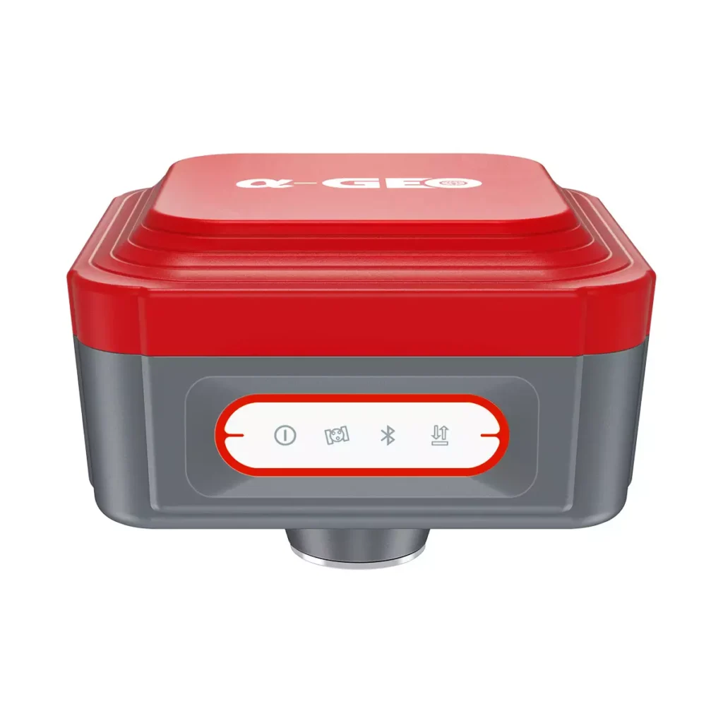
| Communication & Data Storage | I/O interface | USB TypeC (support charging, data download); SMA radio antenna interface |
| WEBUI | Support WEBUI configuration | |
| Cellular | Controller 4G,Bulit-in LTE | |
| Internal radio | RX internal module (Tx/Rx optional) | |
| Radio frenquency | 410-470 MHZ | |
| Radio Communication protocol | Transparent transmission /TT450S | |
| 802.11 b/g standard, access point & client mode, supports access to hotspot for correction transmission | ||
| Fully integrated Bluetooth V4.0, range ≤ 50m | ||
| WIFI | 802.11 b/g standard, access point & client mode, supports access to hotspot for correction transmission | |
| Bluetooth | Fully integrated Bluetooth V4.0, range ≤ 50m | |
| Data format | Differential data | RTCM2.X、RTCM3.X |
| GPS output data format | NMEA 0183s RJK, Binary code | |
| Static data format | RINEX | |
| Storage | 8GB internal memory, supports cyclic storage; with ability to collect over one year raw observation based on 5 seconds interval | |
| System integration | OS system | Intelligent LINUX operating system |
| Relay station | CORS relay, Radio relay | |
| Supported controllers | All android devices with supported software | |
| Design | Key | Double button |
| Indicator | Power indicator, data link indicator, satellite indicator, Bluetooth indicator | |
| WEBUI | Support WEBUI configuration | |